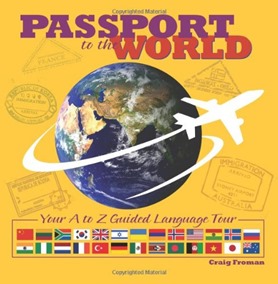
I wanted a simple world geography homeschool curriculum to use with all three of my kids in Kindergarten, 3rd grade, and 7th grade. I started with purchasing Geography & Cultures while at the Teach Them Diligently Convention last spring. Two really awesome books came with this set {Passport to the World and Children’s Atlas of God’s World}, as well as a lesson guide. Soon after this purchase I bought another world atlas {National Geographic Kids Ultimate Globetrotting World Atlas}, and also dug out my Children Just Like Me book. We also still use and love our Little Passports resources.
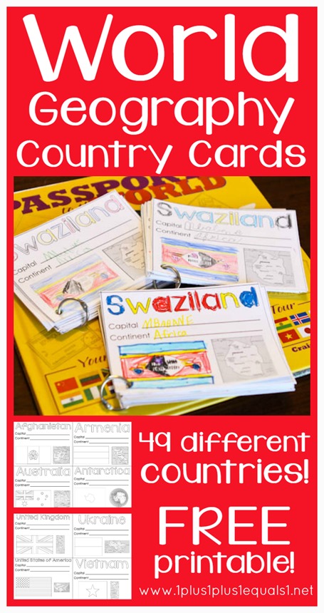
If you know me, you know I had to create some country printables of my own and that’s what I am sharing with you today! I went through the books, and our Little Passports packets, and made a list of the countries included {49 countries total – which isn’t all, but most}.
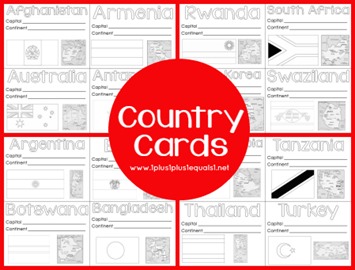
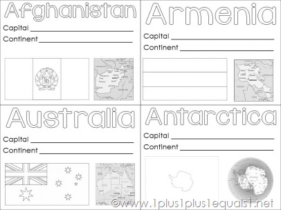
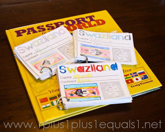
Each card includes the name of the country, a place to fill in the capital, and a place to write in the continent. There’s also a flag to color as well as a graphic of the country in blackline form.
Here’s a peek…
I started out in alphabetical order but then realized I forgot a few countries in my initial list and it was hard to shift at that point, so you’ll find a few out of order at the end — sorry about that!
I printed one set for each of my kids, on cardstock. I punch a hole in the corner and when they are done we add the card to a metal ring.
We do two countries per week, going over just simple basics as we read the book we are using. We started with Passport to the World and just completed this book last week! This is what our learning usually looks like during this time. We all sit together as I read to them. We also get our big map down and find the country.
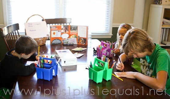
They each have 26 countries on their ring now! We use these to review easily also!
My Simple Geography Goals
- Find the country on a large map
- Identify the capital city
- Identify the continent the country is on
- Color the flag
- Discuss facts presented in the book we are using currently
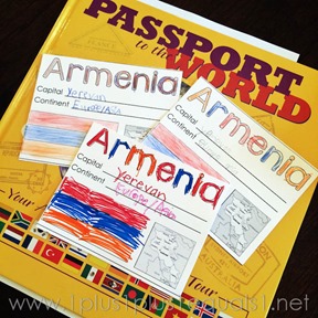
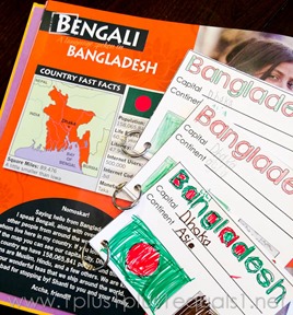
The first book we used, Passport to the World is an alphabetical book with a language of the country as the focus {also being the alphabetical part}. My kids were thoroughly confused when The United States of America showed up for letter C. Took a lot of explaining that this was for the Cherokee language ~ that’s what the C was for! They are used to it now, but at first it was confusing! Below you can see a few other photos from our time with this book.
Seriously it is such a simple way to do world geography all together. I hope to get even more in depth with some of the other books as we move forward this year and probably next year too with a similar plan.
You can easily use these country printables with any book or geography program, just choose the countries you want to use. I may even add more so if there’s a country you’d like to suggest I add, please leave a comment. no promises, but I’d love to get a list together of countries to add.
These are the books we have in our collection so far to use together as we learn.
Download the World Geography Country Printables here!
Look for this graphic and click to download!
See MORE countries here!


